LEGAL PROTECTION FOR HEAPS OF BULK MATERIAL WITH DRONE SURVEYING
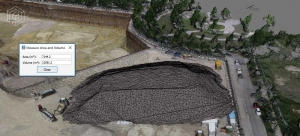
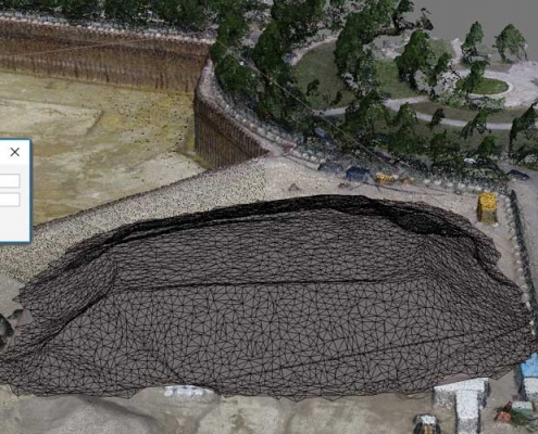
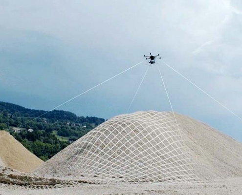
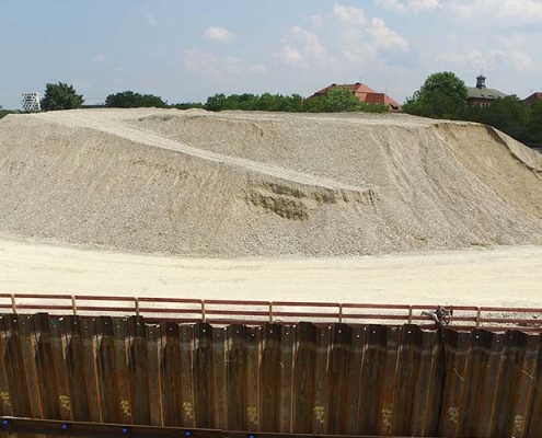
Depending on the material composition and the type of excavation work involved, strict requirements may apply to the documentation of excavation operations and to the storage of material on heaps and stockpiles, at dumps, pits, and quarries. Storage and excavation rights may be revoked if compliance with these requirements is not documented. The collection of drone survey data at regular intervals ensures seamless 3D documentation of heaps of bulk materials as well as the storage and excavation situation including volume measurement and quantity surveys.
The requisite survey data can be collected for an affordable flat rate which is available even for small areas. It can be delivered in any desired format according to requirements, e.g. for expansion planning or renaturing projects. Data collection by drone is less expensive than expected and can provide basic legal security for storage or excavation companies.
WE OFFER
- Flat rate for condition surveys by means of regular drone measurement flights
- Evaluation and processing of the survey data to produce plans and reports
- Volume calculations and quantity surveying
- Optional or additional surveying e.g. by tachymeter, GPS station, and laser scanner
- Integration in an innovative online platform for fast evaluations and discussions
TYPICAL RESULTS
- High-resolution aerial images of the current excavation or material storage situation
- Photogrammetric survey point clouds in a range of resolutions and data records
- Orthophoto (distortion-free orthographic image with optional true-to-scale superimposition of plan)
- Special evaluations, all kinds of measurements, quantity surveys, and reports
- Free online provision of data in our Punkt im Raum Viewer as a discussion platform
- Data management and archiving
Contact
Punkt im Raum GmbH
Germaniastr. 35
80805 München
+49-89-3088175
+49-177-2780677
LATEST NEWS
 INTERACTIVE AI EXPANSION OF THE PORTFOLIO WITH “GAUSSIAN SPLATTING”11. January 2024 - 20:37
 RELAUNCH OF THE WEBSITE AND EXPANSION OF THE PORTFOLIO17. April 2019 - 11:37
Partners

