BIM Modelling, Classical surveying, digital measurement, LIDAR laser scanning, drone surveying, drone inspections, and a range of drone services
Punkt im Raum is the innovative Munich-based surveying and drone service provider. Combining cutting-edge classical surveying with digital 3D laser scanning, drone surveying, a range of other drone services, drone inspections, visualization technologies, and programing, we can deliver unique products, solutions, and services that are tailored to the needs of customers in such fields as construction, the industrial sector, architecture, monument conservation, waste management, bulk material handling, pit and quarry operation, and archaeology, as well as the CGI, film, and marketing industries. Many of our projects are long-term projects, making us true partners to our customers.
From classical surveying by tachymeter, LIDAR laser scanning, drone surveying, Matterport virtual tours and property reports for real estate agents, drone inspections, and aerial photography to special software development. Our range of services covers all areas of digital condition surveying. Using state-of-the-art equipment, we have risen to the challenges of digitization in the era of Industry 4.0, Digital Twin, and BIM.
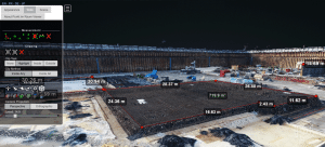
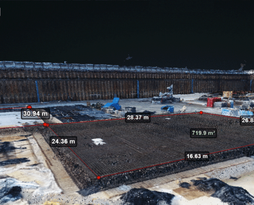
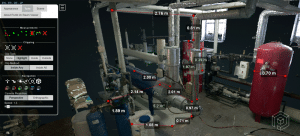
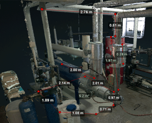
Punkt im Raum Online Data Viewer
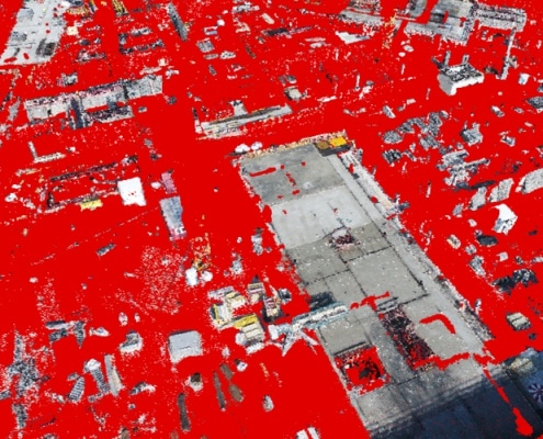
The Punkt im Raum Viewer is a true innovation. The Viewer enables us to present our measurement data to surveying clients within a globally unique environment at no extra cost. A wide array of measurements and evaluations can be carried out within the Viewer. Available 24/7, it can be accessed by web browser on regular office computers via the customer portal. Many of our customers use the viewer not just to evaluate their measurement data, but also as a communication and reporting tool, e.g. for use between developers / building owners, customers, and suppliers.
*Limited functionality on mobile devices and macOS.
Target platform: Windows PC with HTML5 browser (e.g. Chrome, Firefox, Edge).
+ Time- and location-independent measurements
+ Presenting, visualizing, and documenting current project statuses
+ Monitoring supplier performance
+ Detecting and preventing errors
+ Comparison of target with actual status thanks to mixing with plan data
+ Mixing of indoor and outdoor data
+ Filtering and exporting data
+ All trades can communicate with and have access to real 3D data in the web browser
BIM MODELLING – CLASSICAL SURVEYING – DIGITAL 3D MEASUREMENT – LIDAR LASER SCANNING – DRONE SURVEYING – DRONE INSPECTIONS
CLASSICAL SURVEYING BY TACHYMETER, GPS ROVER, LIDAR LASER SCANNING, AND DIGITAL 3D MEASUREMENT
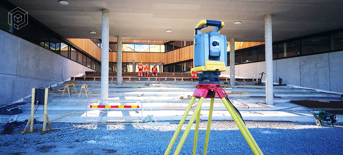
We offer the full range of classical surveying services. Construction surveys with marginal checks, stock measurement, building measurement, area and volume measurement.
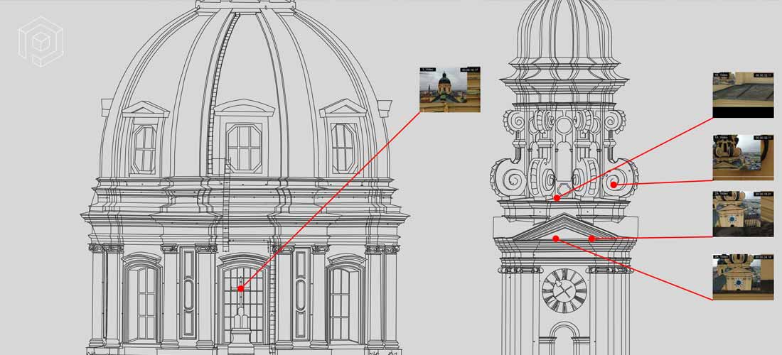
DRONE INSPECTIONS & DAMAGE DOCUMENTATION
We inspect all kinds of buildings, infrastructures, and facilities
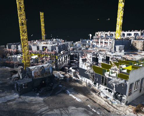
DIGITAL CONSTRUCTION SUPERVISION AND DOCUMENTATION OF CONSTRUCTION PROGRESS
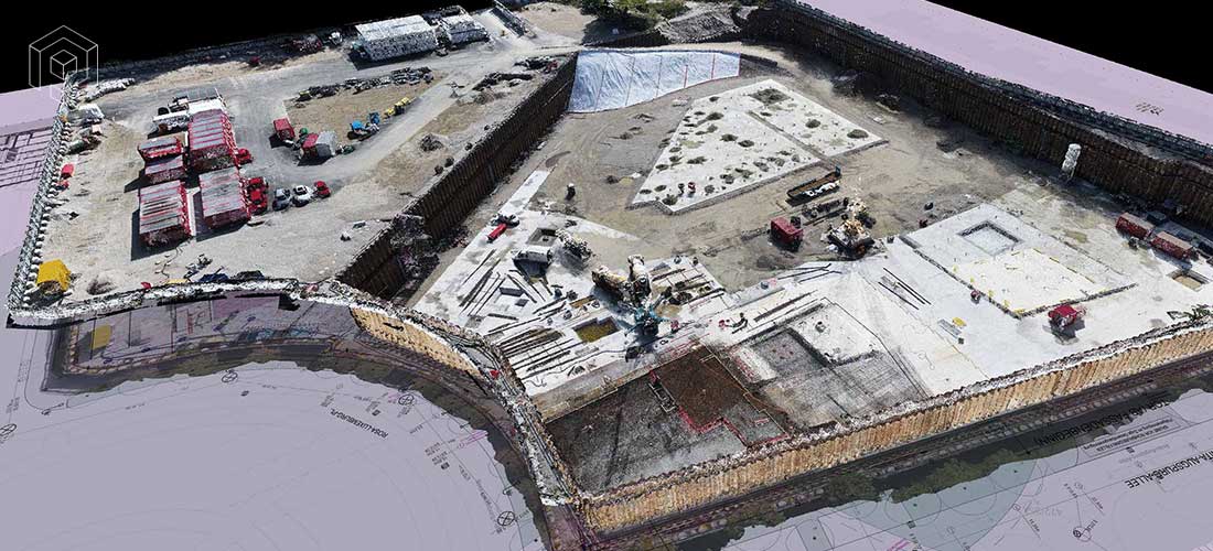
We document the construction progress of large-scale construction projects, securing investments in notable projects.
LANDFILL SURVEYING – KEEPING CONTROL OF QUANTITIES AND VOLUMES
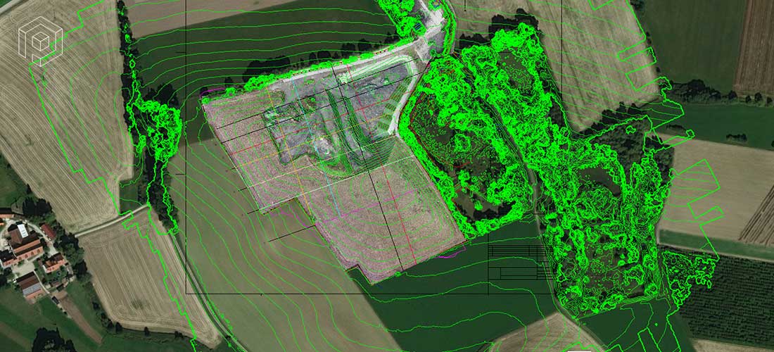
We partner with the waste management industry, determining baseline data for filling level calculations and the planning of landfills.
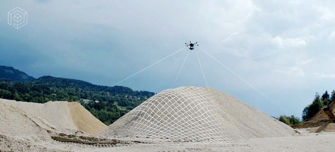
BULK MATERIAL SURVEYS – SIZE AND VOLUME MEASUREMENT – FOR DUMPS, STOCKPILES, PITS, QUARRIES
We give our clients the legally required overview, making the current excavation and storage situation transparent.
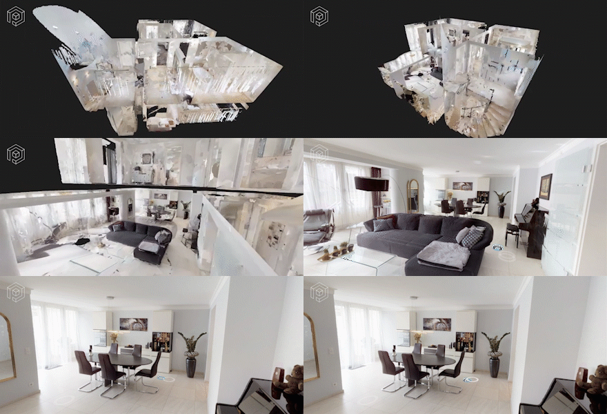
VIRTUAL TOURS AND WALKTHROUGHS
Nothing is more impressive than an on-site visit. We offer virtual 3D walkthroughs, providing compelling documentation of a project’s current status – for the industrial sector and marketing as well as for real estate agents’ property reports.
RECENT REFERENCES
Reference
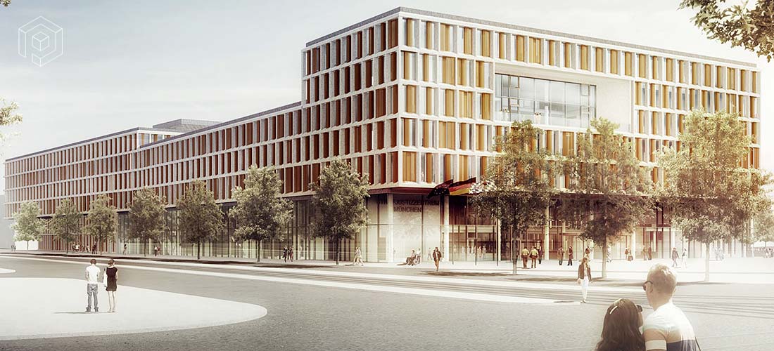
CONSTRUCTION OF THE NEW BAYRISCHE STRAFJUSTIZZENTRUM (BAVARIAN CRIMINAL JUSTICE CENTER) IN MUNICH
Diagonally opposite Leonrodplatz. Corner of Schwere-Reiter-Strasse and Dachauer Strasse.
Project cost: ~ 305 million euros
39,000 m2 footprint
Client
Staatliches Bauamt München 1
General contractor
CL MAP GmbH
Our assignment
- Supervision of construction and construction progress / surveying
- Survey flights
- Aerial photographic documentation
- Laser scanning
- Preparation of various reports
- Processing and provision in the Viewer platform
- CAD / BIM data processing
Reference
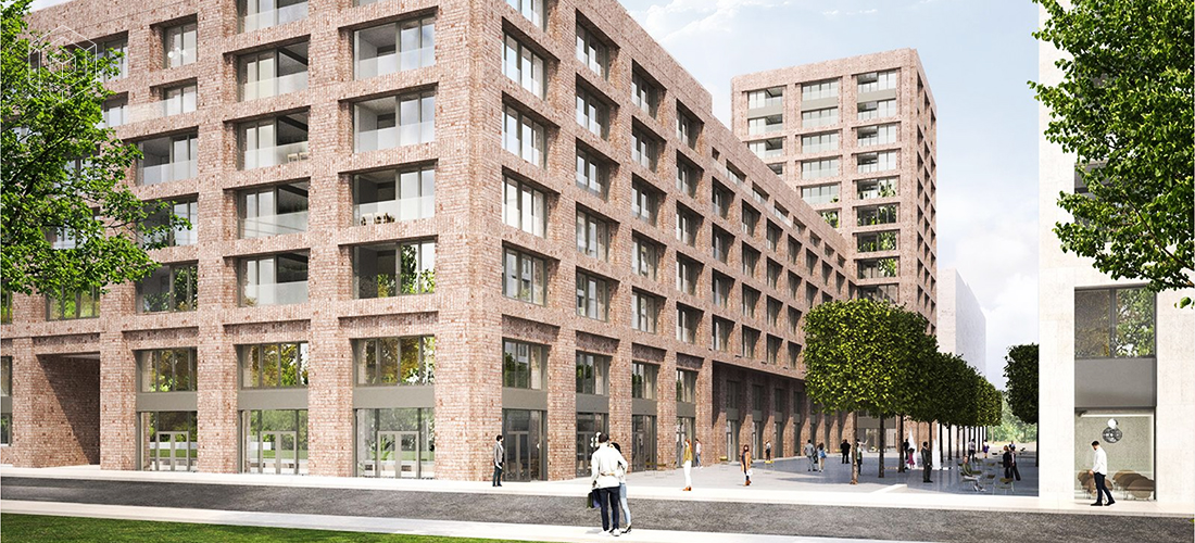
Heidepark – Four building complexes at the eastern end of the former Bayern barracks
The Heidepark district is part of the conversion of the former Bayern barracks in the north of Munich into the new mixed residential district of Neufreimann.
93,000 m² of land area | 176,500 m² gross floor area | 890 car parking spaces
Landlord
Heide Grund GmbH & Co. KG – vertreten durch die Sedlmayr Projektentwicklungs GmbH
Design architect
Max Dudler, Berlin
Our assignment
- Supervision of construction and construction progress / surveying
- Survey flights
- Aerial photographic documentation
- Processing and provision in the Viewer platform
- CAD / BIM data processing

