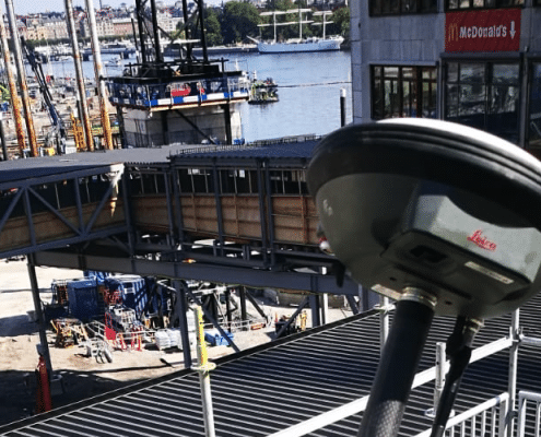
SURVEYING AND CONDITION SURVEYING
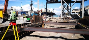
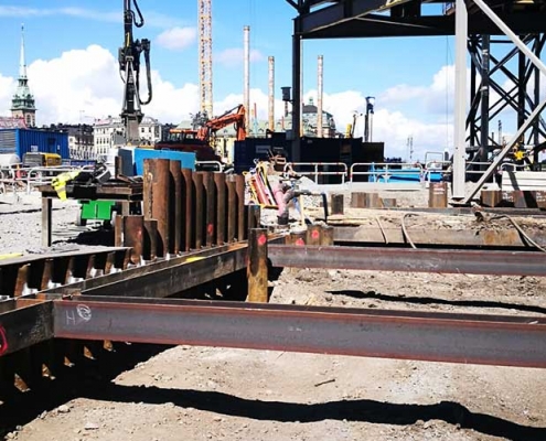
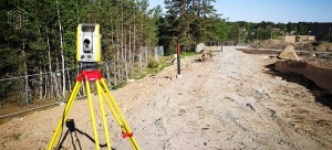
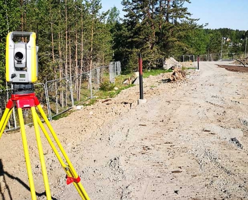
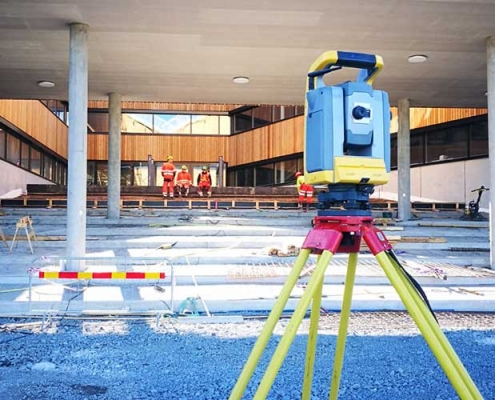
We have a team of geodesists and surveyors with all the necessary qualifications and the appropriate technical equipment (see Technology). Along with construction monitoring we also provide the full range of surveying services, mainly operating in Munich and throughout the region of southern Germany.
DRONE SURVEYING AND PHOTOGRAMMETRY
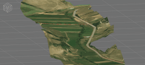
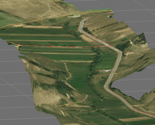
Professional drone flights are primarily conducted for surveying purposes. Drone surveying generally involves the photogrammetric evaluation of many individual drone images. In the subsequent photogrammetric calculation, these are used to create point clouds with millions of 3D points. By including classical ground control points (GCPs) or GPS data (RTK), we can achieve an accuracy of up to 1-2 cm, depending on drone altitude. Drone surveying is particularly suitable when collecting background information for the design process, surveying large areas of up to several hundred hectares, for digital terrain models (DTMs), volume measurement and quantity surveys of bulk material, and to calculate the material excavated in civil engineering works.
LASERSCAN (LIDAR) – DIGITAL 3D MEASUREMENT
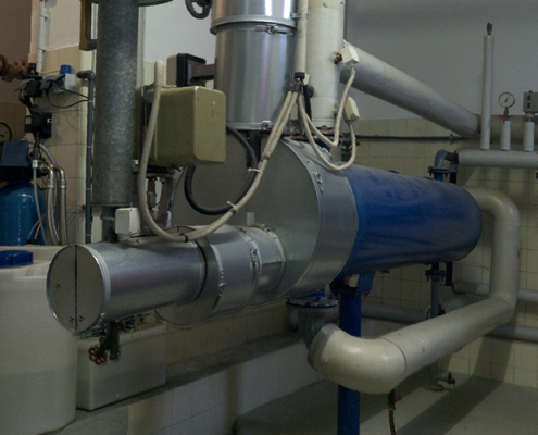
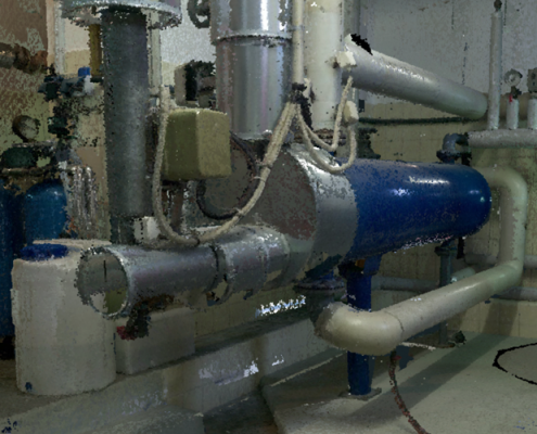
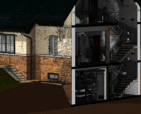
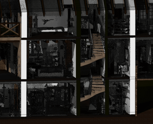
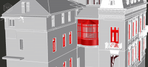
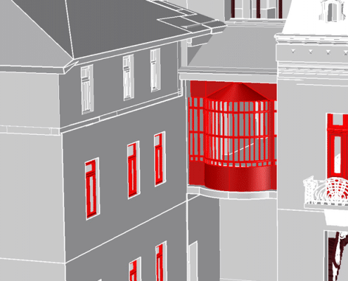
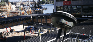
LIDAR laser scanning is the most advanced method for digital topographic and interior condition surveying. The point clouds produced by laser scanning achieve an accuracy within the millimeter range. Our laser scanners are ideal for all forms of condition surveying on construction projects, in industry, and for documentation purposes. Depending on the application, high-resolution panoramic images are simultaneously captured, which can be processed for virtual tours and walkthroughs.
WE OFFER
- Building construction and civil engineering surveys
- LIDAR surveying of industrial facilities
- Topographical surveys for the collection of background data for the design process, condition surveying, documentation of construction progress
- Measuring the location of various objects (shafts, pipelines and powerlines, trees, transport facilities, building façades, the height of ridges and chimneys…)
- Seamless documentation of the current status in 3D along with our construction supervision services
- Volume measurement and quantity surveys
- Surveying with simultaneous photo documentation
TYPICAL RESULTS
- Special evaluations and production of plans for all common BIM and CAD systems
- 3D models of structures, monuments etc.
- Documentation of complex structures
- Free online provision of data in the Punkt im Raum Viewer
- Data management and archiving
Contact
Punkt im Raum GmbH
Germaniastr. 35
80805 München
+49-89-3088175
+49-177-2780677
LATEST NEWS
 INTERACTIVE AI EXPANSION OF THE PORTFOLIO WITH “GAUSSIAN SPLATTING”11. January 2024 - 20:37
 RELAUNCH OF THE WEBSITE AND EXPANSION OF THE PORTFOLIO17. April 2019 - 11:37
Partners
